This is very useful in IFR flight you are often cleared "descend 5000ft, level 10nm before WXYZZ". Or, you may wish to plan a descent to a certain altitude for an approach.
This might work on the Flight Plan page, with two fields available to input an altitude, and a distance before/after, for each waypoint. The airport would populate with the default settings you have now, but would be editable from this page. A VSR would be generated based on the NEXT upcoming altitude constraint in the flight plan.
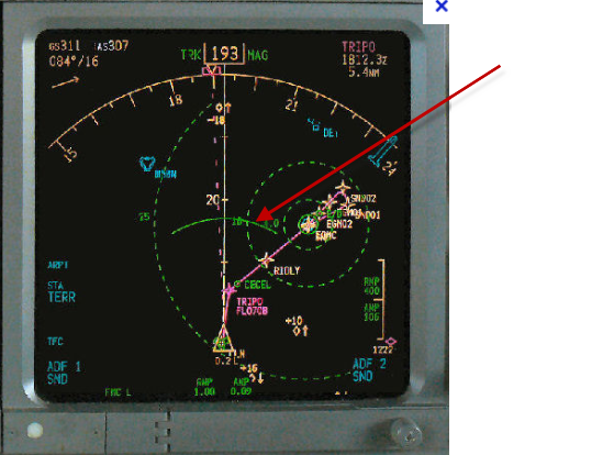
Now, if you want to really dress this feature up, add a Boeing Banana. This is a 20 deg arc that is drawn on the map, along the flight path, at point where you will cross the next altitude constraint given your current VS.
* Orest